
Altey Lilly
Mar 16, 2026
La vie è breve ,medio/facile ,...
La vie è breve ,medio/facile ,ottima tenuta della roccia
ModerataEsposizione

Appenino Tosco Emiliano · Reggio Emilia · Italy
Route planning
Orto del Mandorlo is in Appenino Tosco Emiliano, Reggio Emilia, Italy and is rated Moderatamente Difficile. Available route data lists about 2 h total time, 4 km of distance, 100 m of elevation gain.
For day planning, consider an approach of about 15 min, about 60 min on the cable, a maximum altitude near 1046 m. Reported route features include: Avvicinamento corto.
The page includes a parking or driving-directions reference. A GPX track is available to review and download.
As with every via ferrata, evaluate season, lingering snow, storms, crowds and equipment condition. Page last updated on 7/4/2026.
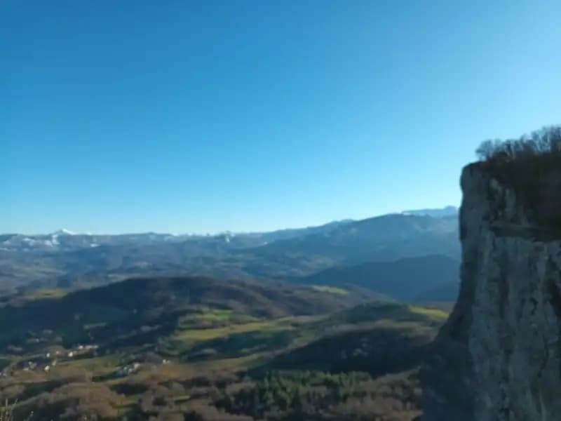
The Ferrata Orto del Mandorlo climbs the famous Pietra di Bismantova, an imposing sandstone bastion that towers over Castelnuovo ne' Monti in the province of Reggio Emilia. This recently inaugurated via ferrata offers a technical and rewarding ascent in a morphologically unique setting, partially retracing the line of a historic rock climb. It shares the first part of the route, including an equipped section, with the more traditional Ferrata degli Alpini.
The route starts from Piazzale Dante, a large square at the foot of the rock formation. To reach it, follow signs for the Pietra di Bismantova from Castelnuovo ne' Monti. Parking is spacious, but on busy weekends in high season you may need to park along the access road.
From the square, climb the staircase heading toward the Rifugio della Pietra. After a few meters, a CAI sign on the right points the way to the ferratas. Continue for about ten minutes, skirting the majestic walls frequented by climbers, until you enter a rocky cleft. The setting is dominated by high vertical walls that unfold across ledges and small terraces. After crossing some slightly exposed grassy sections, you reach the first equipped stretch about fifteen minutes from the start. Given the tight spaces at the beginning, it's advisable to put on your harness already at the parking lot or during the approach.
The first section is shared with the Ferrata degli Alpini. It begins with a pleasant slab of sandstone, then reaches a small terrace. After rounding a corner, you enter a descent channel about ten meters long-a key passage that requires a steady foot and no fear of heights, made easier by excellent anchors. This stretch introduces a discontinuous rhythm, alternating short climbs with horizontal or slightly descending moves. Once past this, you access a cave; the descent through it needs careful assessment but turns out to be straightforward. Exiting the cave, a trail marked with white-red paint skirts some scree slopes and leads, about thirty minutes from the initial start, to the beginning of the second section of the Ferrata degli Alpini.
At this junction, instead of climbing, follow a CAI sign reading "Sentiero" to the right, heading toward a prominent boulder field. Looking up, you can spot the wall of the Orto del Mandorlo and the blue sign marking its start. Traverse the boulder field on a mid-slope path, then after a few meters of ascent, leave it to follow a faint track that cuts across the base of the wall for a few minutes, until you reach the ferrata's starting sign, about forty minutes from the parking lot.
The Ferrata Orto del Mandorlo begins by tackling the wall's lower section. The first meters on mixed, grassy, and unstable ground require maximum attention to avoid dislodging debris. The climb proceeds diagonally to the right until a root, where a short overhanging step leads to a slab. Ascend with friction moves on sloping rock, taking care not to slip on dirt and sand. You then reach a steeper little wall, progressing with friction using abundant natural footholds. A short traverse to the right and a small slab bring you to the end of the lower section.
Next, follow a grassy ledge that traverses horizontally to the left, double around a corner by climbing a small gully, then traverse left again in a slight descent to a pillar. This pillar is the most interesting section: move left in an exposed position to a comfortable metal step, from which begins a slightly overhanging climb, well-equipped with artificial holds on the right and natural ones on the left. The passage is beautiful and exposed, offering a moment of more technical and airy vertical progression. Exit the pillar on the right by stepping over a root, and you arrive at a small earthy terrace.
Continue on a diagonal slab to a slightly overhanging section. A traverse to the left-not difficult but requiring decisive movement-leads to the summit slab. This final stretch, on good-quality sloping rock, allows you to climb with friction, seeking out natural holds. The character of the route here becomes more physical and continuous, with fine progression on compact rock. After climbing about fifteen meters, you reach the end of the fixed equipment on the summit plateau, about thirty minutes from the ferrata's start (roughly one hour total from the parking lot).
Three options are possible for returning to Piazzale Dante.
The route presents variable difficulty. The sections shared with the Ferrata degli Alpini in descent are considered moderately difficult, especially the channel and the cave. The ascent of the Orto del Mandorlo is mostly easy, with two passages classifiable as moderately difficult. Overall, the nearby Ferrata degli Alpini is slightly more challenging and exposed.
This is a recent route that traverses a sector, the Orto del Mandorlo, historically known for rock that isn't always of the highest quality. The ground is often earthy, and despite careful safety work, it is essential to pay maximum attention to avoid dislodging stones, which could fall onto the approach trail or the early sections. Wearing a helmet is mandatory. It is strongly discouraged to descend the ferrata due to the risk of sending debris onto any climbers below.
Installed in autumn 2023 by the Guide della Pietra, the ferrata partially retraces the old "Via del Campo," a bold solo ascent now re-equipped and made accessible. The three ferratas of the Pietra di Bismantova can be combined into a long and satisfying loop.
Track and weather
Preview the GPX track from the backend, download it for your GPS device, open parking directions, and check a short forecast before leaving.
ferrata.faqAnswers.commitment
The listed ferrata elevation gain is 100 m. Also consider approach, return and maximum altitude, because they can matter more than the equipped section alone.
Orto del Mandorlo is located in Appenino Tosco Emiliano, Reggio Emilia, Italy. Before leaving, check parking, access and current local conditions.
The best season depends on altitude, aspect and lingering snow. Avoid storms, wet rock and uncertain conditions; start early and keep a margin for the return.
Use the technical data on this page to plan equipment, timing and offline navigation. For a general checklist, read the equipment guide before opening the route in the app.
Video
Useful YouTube videos for getting a real feel for the route before you go.
Logbook
Recent community notes about closures, snow, equipment damage, trail issues and current conditions.
Community
4.5
2 reviews
20
5 climbers
4
Shared by the community
Recent images uploaded by Sferrati members.
Recent impressions from climbers who know the route.
Mar 16, 2026
La vie è breve ,medio/facile ,ottima tenuta della roccia

Feb 28, 2026
Più corta degli Alpini, ottima.
Track the climb, save maps offline, and sync this route to your personal profile.
Use the app to climb
Scan the code before leaving, install the app, and keep your route data ready when reception fades.
